Mint! Luftwaffe Navigation Map 1940 (England/NL)
SOLD
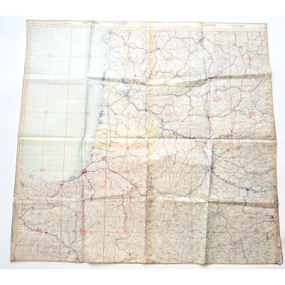
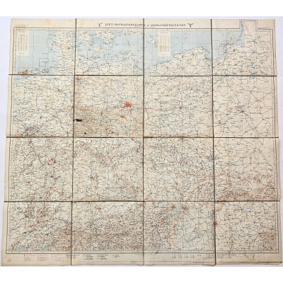
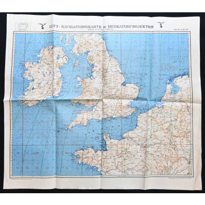
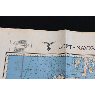
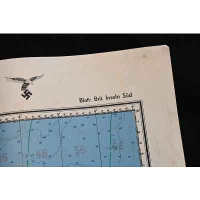
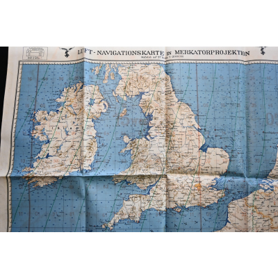
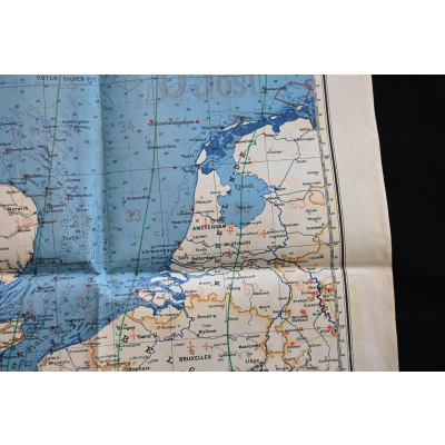
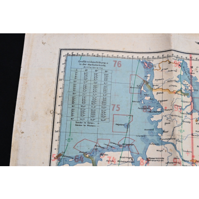
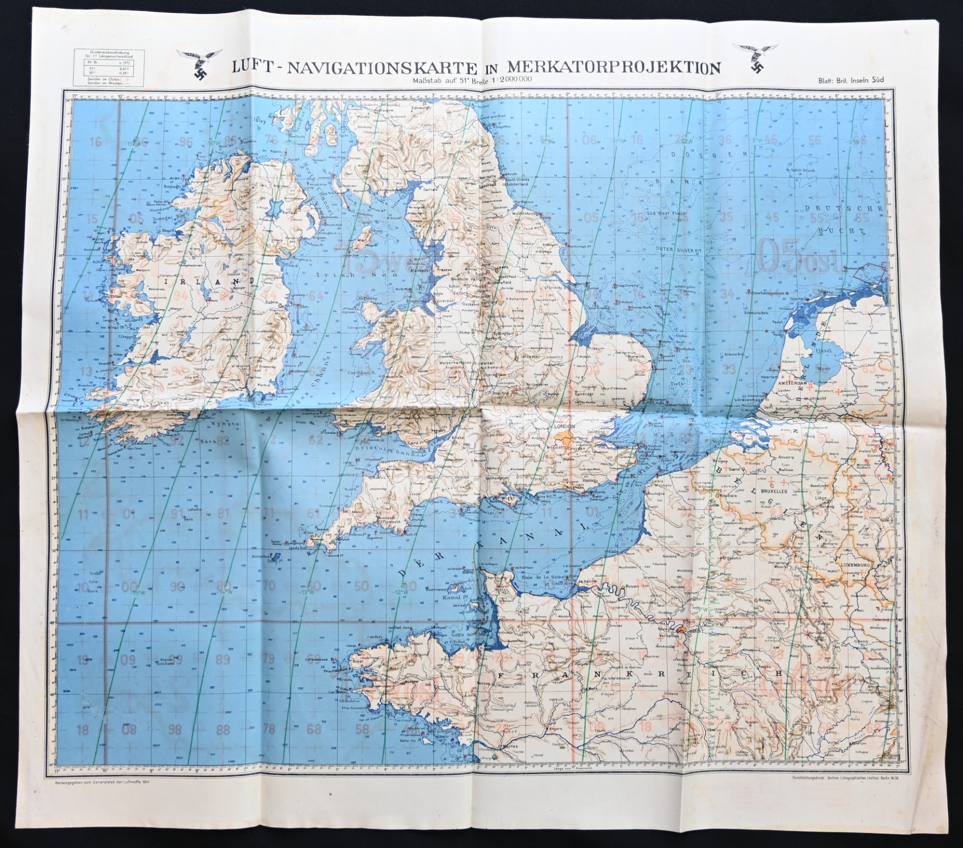
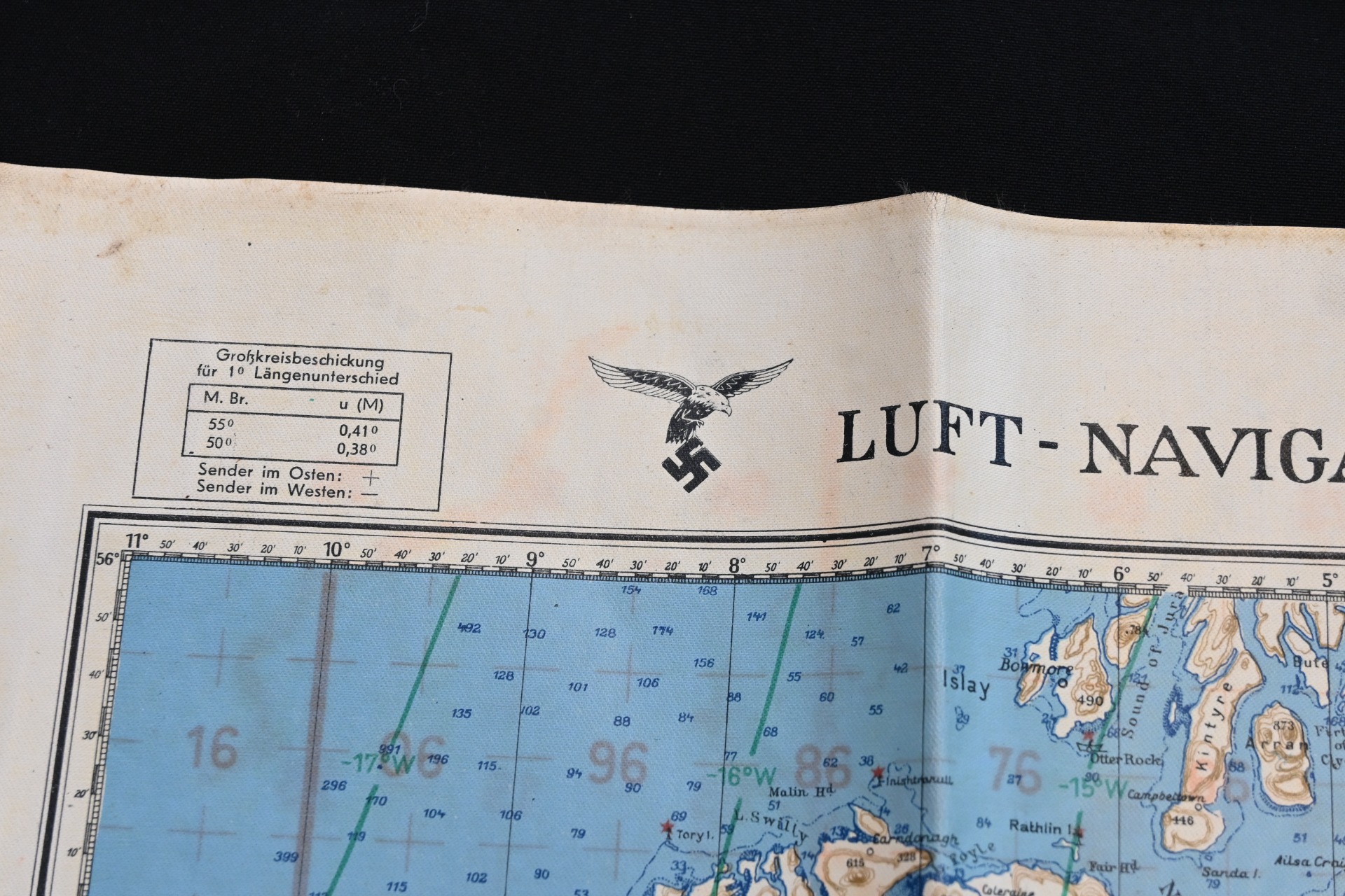
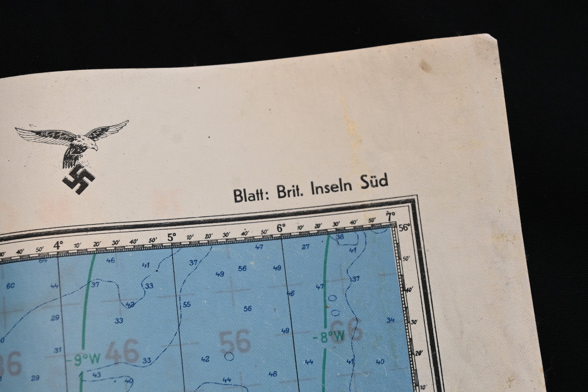
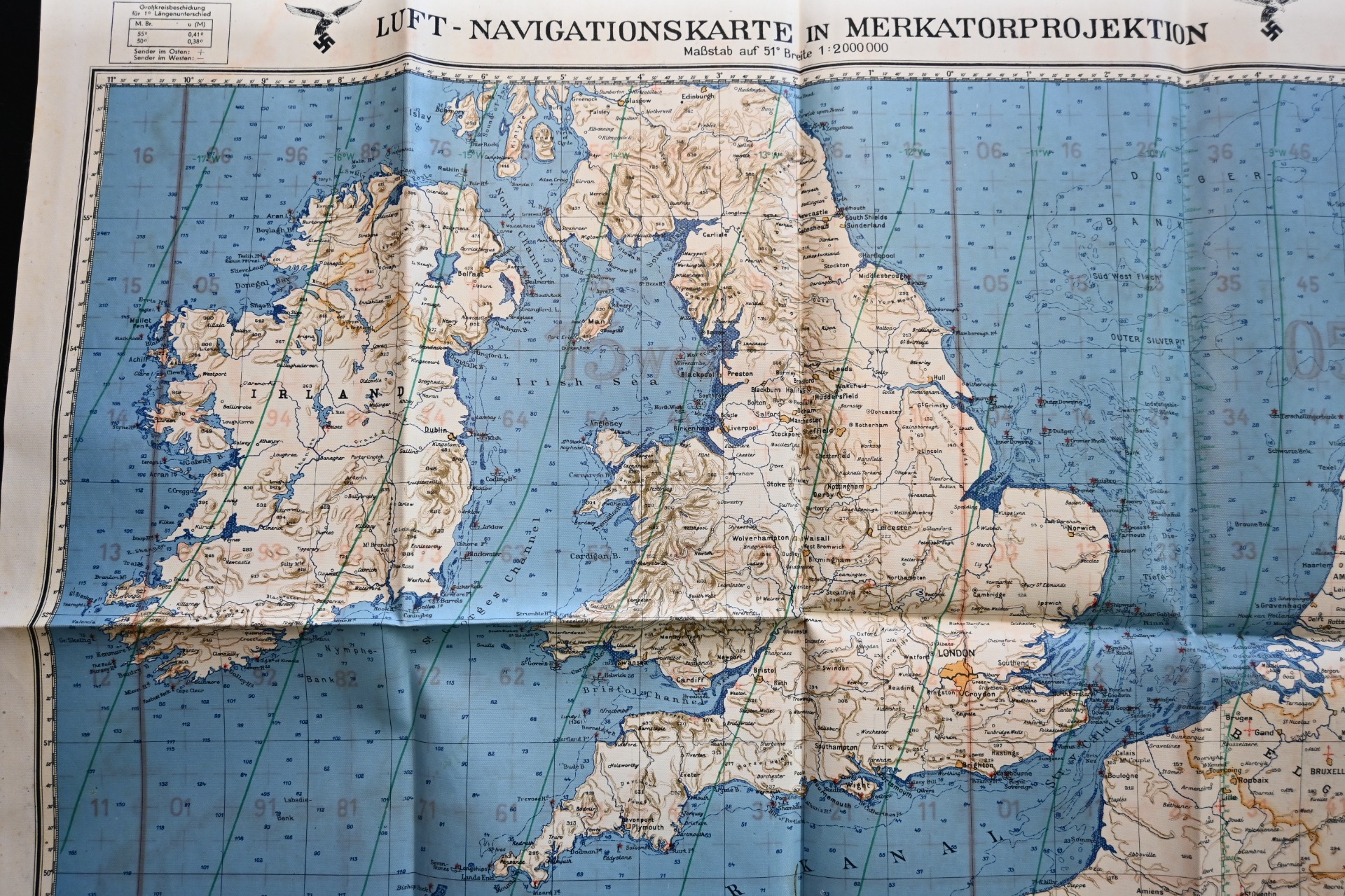
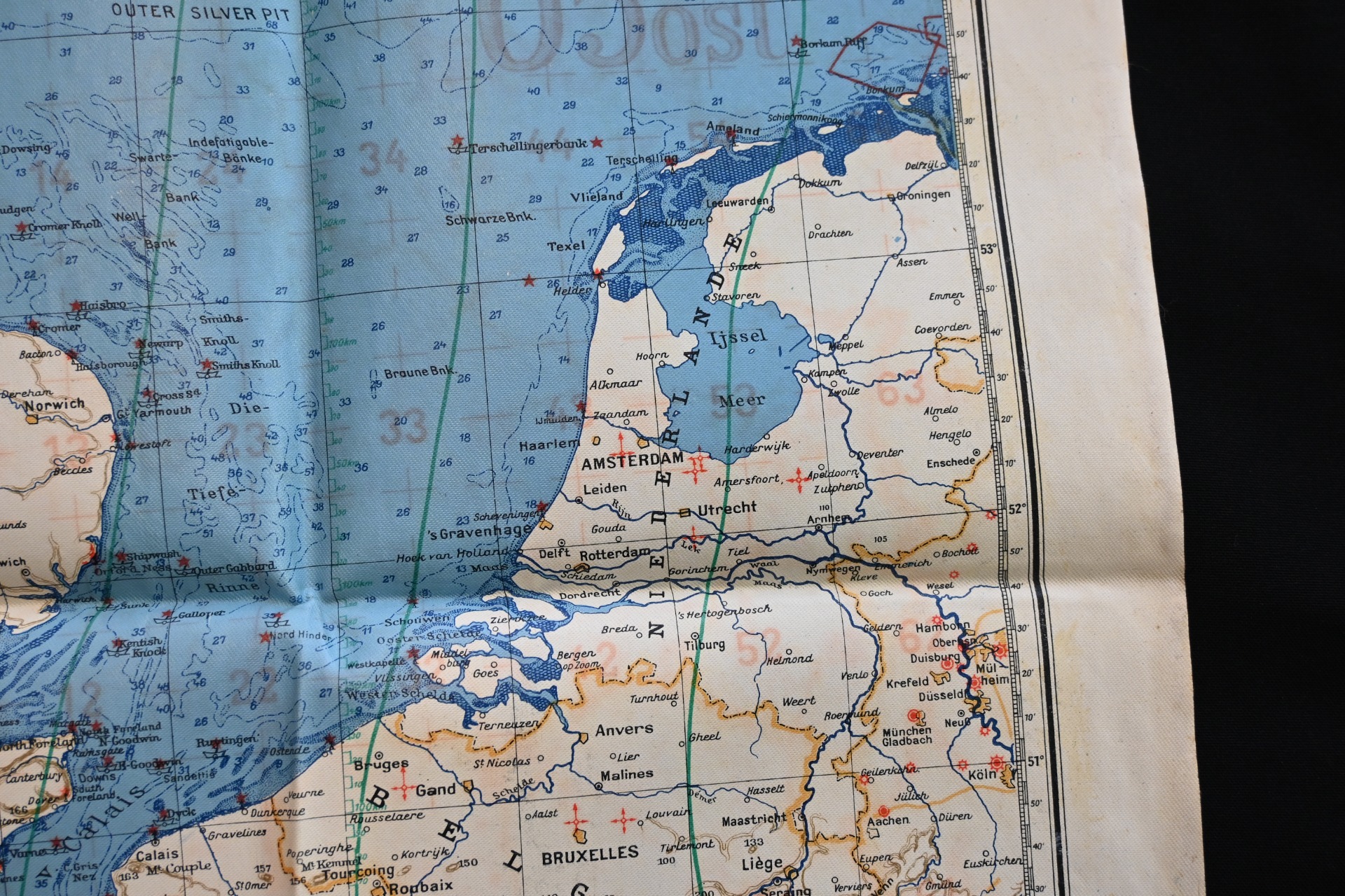
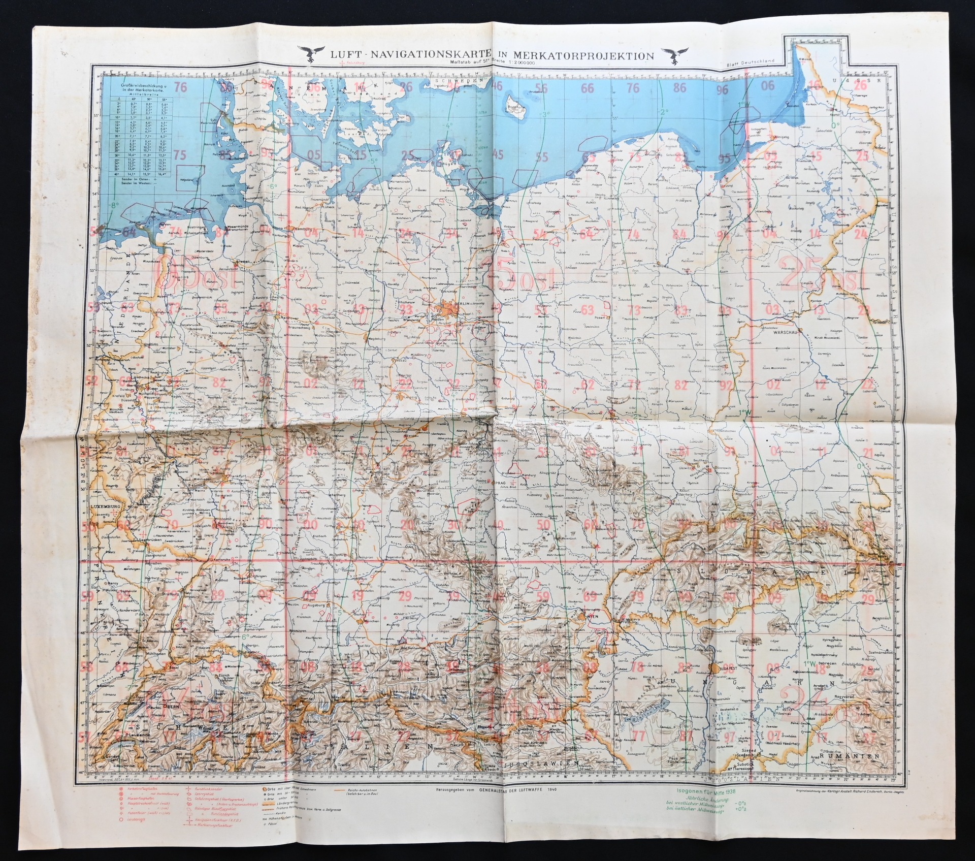
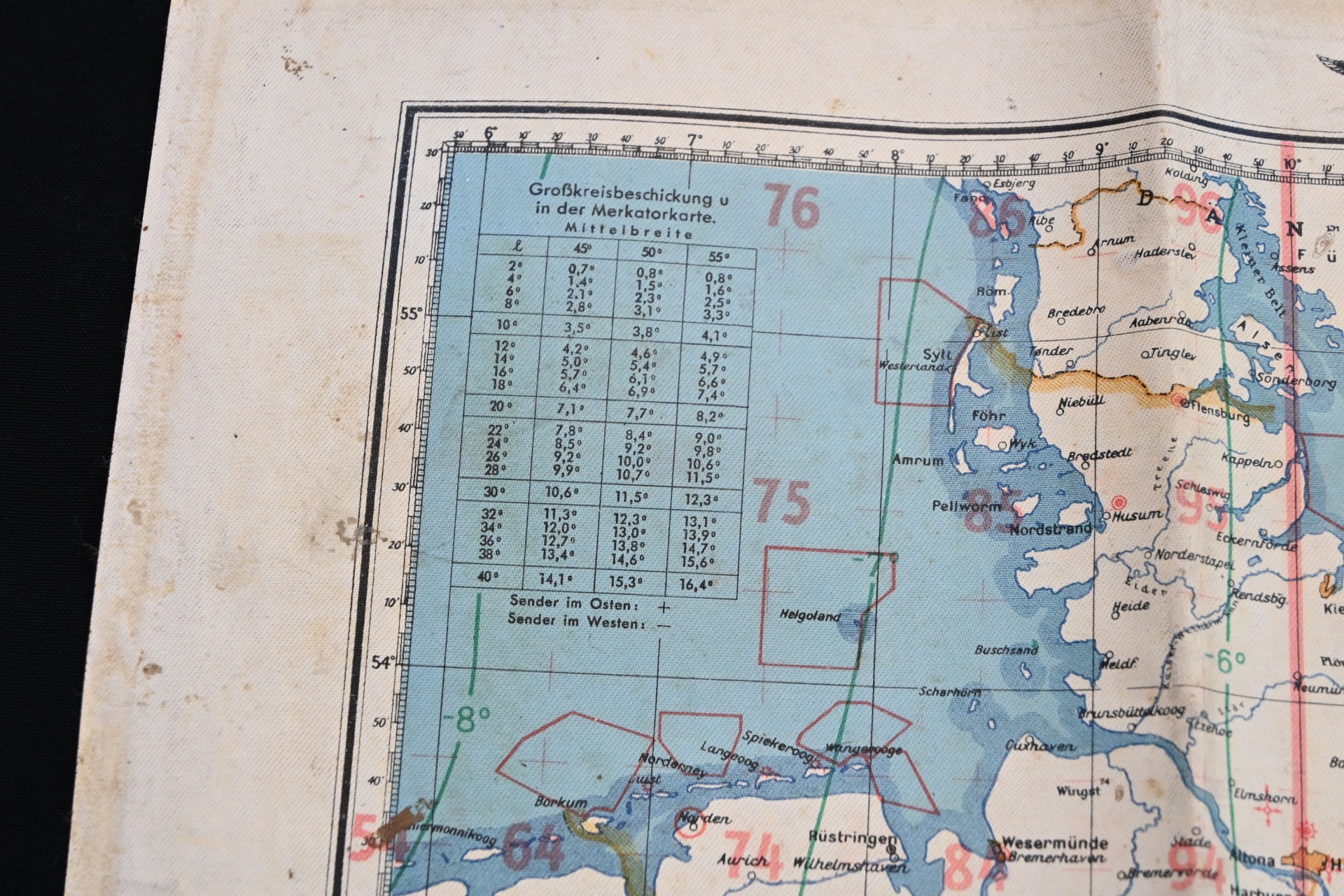
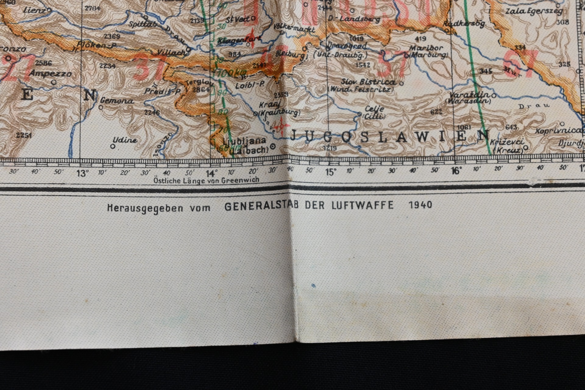
Superb Luft-Navigationkarte of England, the Netherlands and the French coast.
Availability:Out of stock
Product Number
30083
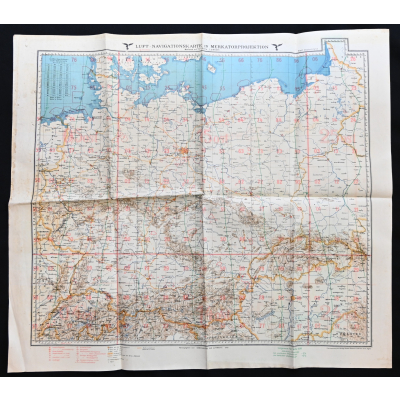
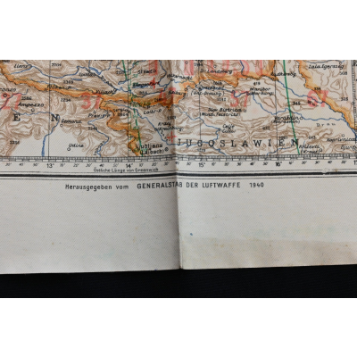
The map shows overall minor signs of wear. It's made out of water resistanced oil cloth. It shows the whole of England, the Netherlands, Belgium and the west coast of France (Normandy). On the back it shows the whole of Germany. The map measures approx 70cms*62cms. Dated 1940.
Very hard to upgrade and would look awesome in your Battle of Britain or Invasion of the low countries display.
| Product Number | 30083 |
|---|---|
| Weight | 0.110000 |
| branch | Luftwaffe |
| Unit: | Piece |